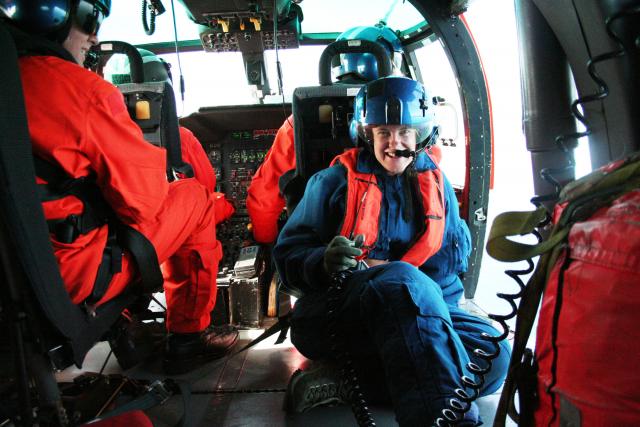
Helicopter-based aerial photo mission (2010)
Mon, 07/12/2010 - 12:38 — mgds


A UCSC graduate student aboard a US Coast Guard helicopter is shown collecting aerial photos of the Alaskan Kodiak Islands shoreline for use in land-based geological mapping. In this remote region, small planes and helicopters were necessary for efficient field work operations. Image courtesy of Casey Moore, UCSC.
Species (common):
Year: 2010
Details:
Media Type: Photograph
Data Type: Photograph
Device Type: NotApplicable
Feature: Alaska:KodiakIslands
Investigator: Casey Moore
Expedition: Kodiak_Islands:Moore
Chief Scientist: Casey Moore
Species:

